Kannonkoski in English
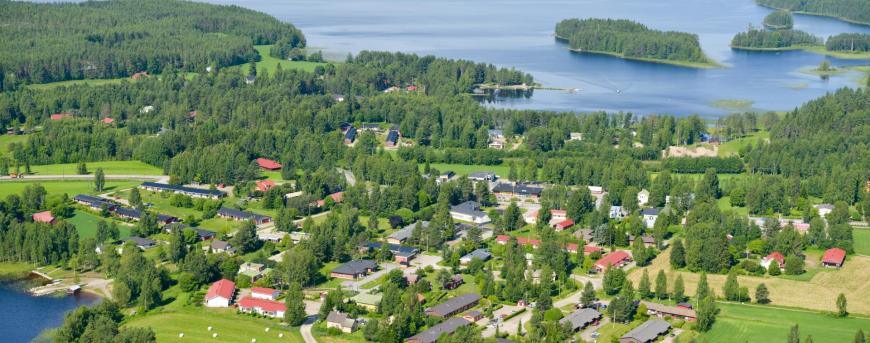
Kannonkoski lies in Central Finland and is part of the Finnish Lakeland region. It is easy to visit Kannonkoski by car.
If you are traveling to Kannonkoski from the south, such as from Helsinki, or from the north highway 4 is an easy route.
The Blue Highway, or highway 77, is the best choice if you come from the east or west.
Kannonkoski is a fun place to live and enjoy leisure time activities. For the nature lover
Distances by car:
Airport (Tikkakoski): 80 km (50 miles)
Helsinki 369 km (229 miles)
Jyväskylä 100 km (62 miles)
Oulu 277 km (172 miles)
Turku 389 km (242 miles)
Vaasa 205 km (127 miles)
Kuopio 177 km (110 miles)
Established in 1934
Population 1522
Income tax rate 21%
800 summer cabins
100 businesse
65 farms
Area 549 km2
- land area 448 km2
- water 101 km2
- 413 kilometers of shore line
Useful links
Sunrise and sunset in Kannonkoski
Contact
KANNONKOSKI MUNICIPALITY
Address: Järvitie 1, 43300 Kannonkoski
Phone: +358 14 459 6111
Email: kunta [at] kannonkoski.fi
Business ID: 0175798-8
The Mayor of Kannonkoski
Sakari Varala
+358 44 459 6121 (english)